Knowing where to go using your iPhone or iPad will also mean knowing a bit of local history in our neck of the woods.
You may well know where you’re from and where you’re going, but could you identify the indigenous names of the lands of either if someone asked you?
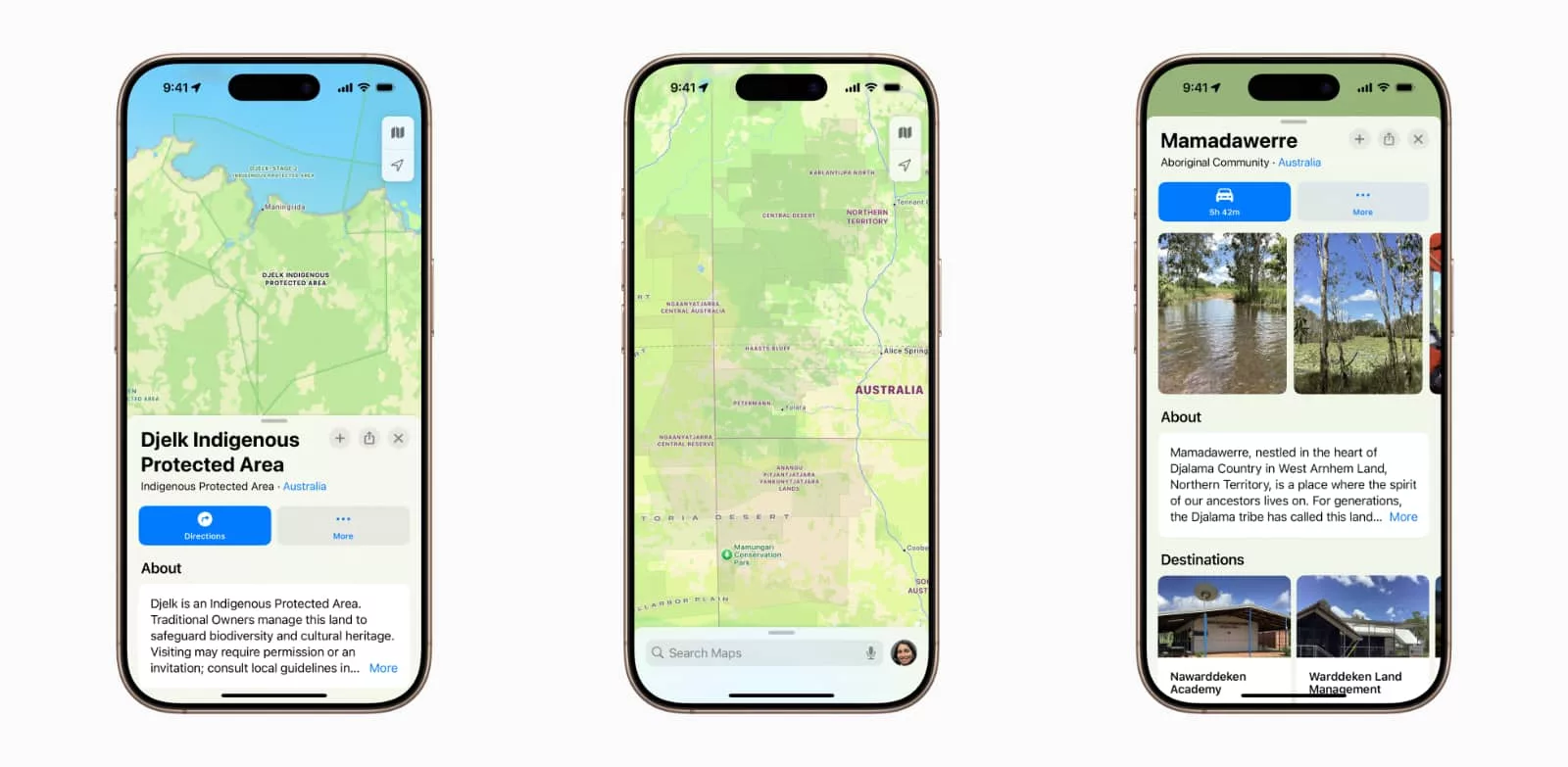
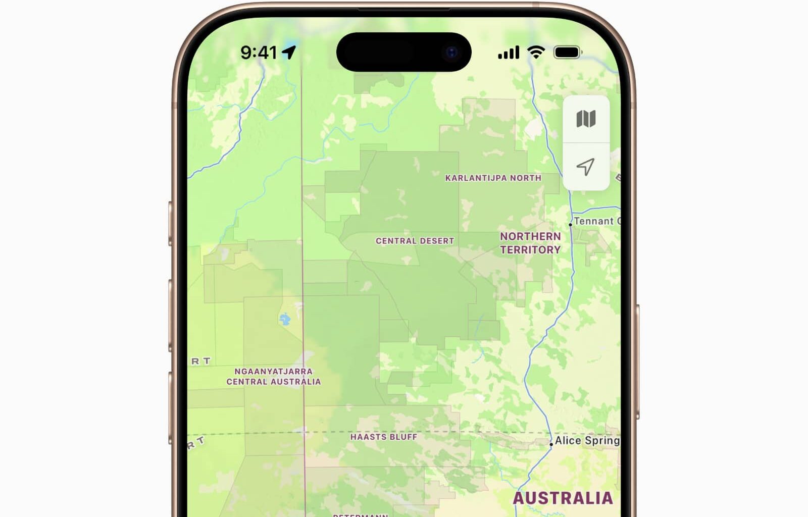
Apple Maps is about to make that a little easier in Australia and New Zealand, with the addition of indigenous names now found on the maps.
To do this, Apple has worked with the traditional owners and custodians of the land, as well as advisors, cartographers, language specialists, tribes, and community members to build out the maps so they not only show the English names, but also the Aboriginal and Maori names of places across the two nations.
It follows on from a similar sort of rollout US and Canadian maps have seen with their respective indigenous communities, and means maps will show indigenous place names, reserves, and protected areas where they can.
The names are now part of MapKit, and so will work in other places where Apple Maps and locations are used, such as via the Weather app on the iPhone and other services, including Find My with the Apple AirTags.