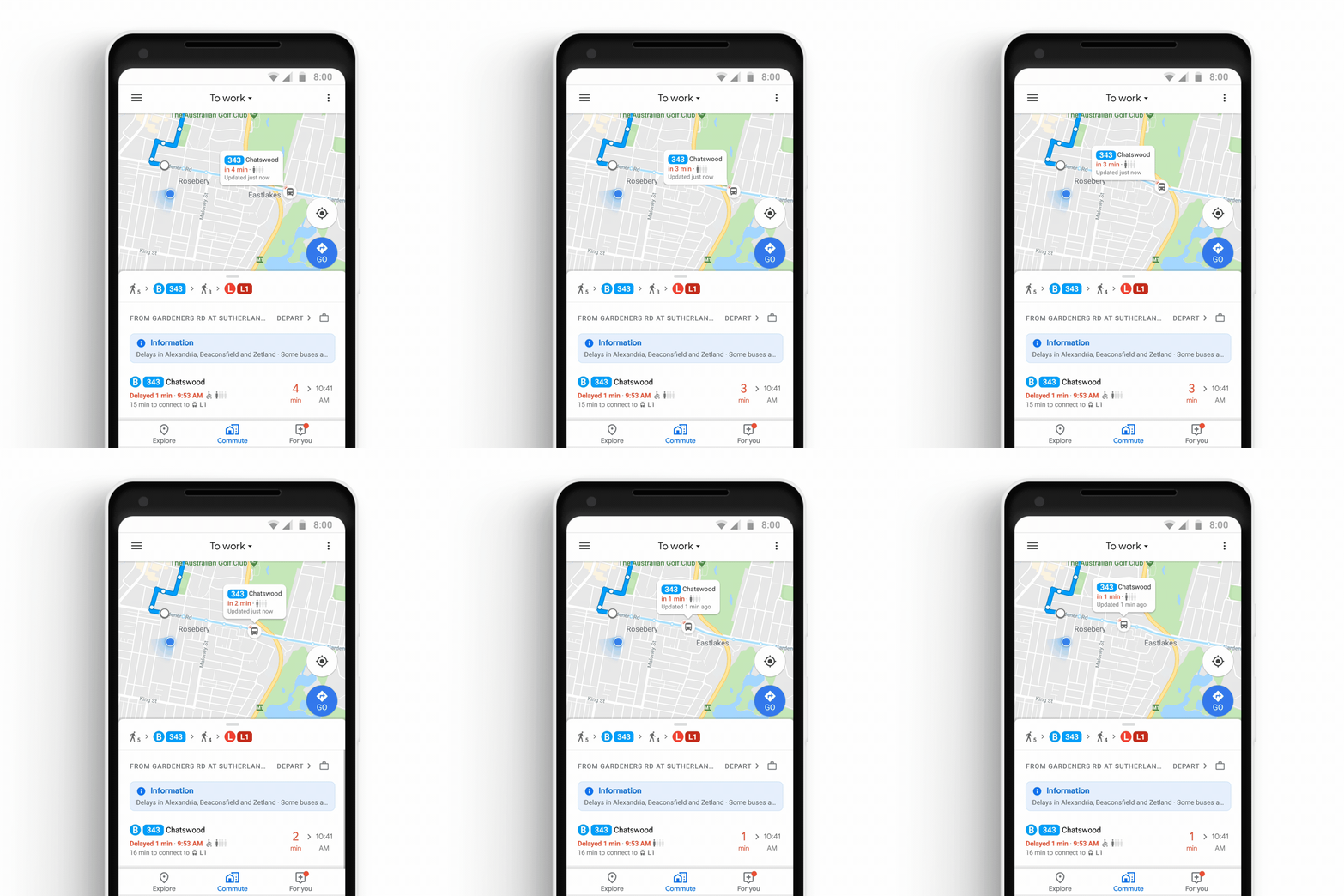
No one likes to be late, but when your bus arrives completely packed, chances are it’s going to happen. Google may well be on its way to warning you, though, and it will do it through Maps.
Google Maps is sporting some new features this week, and regardless of whether you’re an Android user or that of iOS, you’re going to see some changes, and possibly be some benefits.
For instance, if you listen to music while you let Google Maps do its navigation thing, the app will now link up with your music service, working with Apple Music, Spotify, Google Play, and YouTube, and making them controllable from within the Google Maps app.
Spotify subscribers will even be able to select songs, albums, and more through the app, something we find interesting given Google’s own music services don’t seem to have this choice.
Live traffic support is also rolling out, with alternative routes suggested to avoid getting stuck in a long line of cars, and there’s also support for mixed-mode commutes, informing you if there’s traffic on the way to the bus station, or somewhere else.
But if you happen to be in New South Wales, there’s also a change coming which seems like it would be truly helpful: real-time info about buses and trains.
Specifically, it’s Google Maps showing you when your bus is coming, how late it might be, and what the occupancy of the bus is, so you can know if you’ll be getting a seat or standing up.
Google’s addition isn’t the first time we’ve seen real-time data used in conjunction with an app, as TripView delivers that data, though in this instance, Google Maps is doing it for free, which is something TripView charges a small price for the app.
However while TripView is limited to select parts of Australia, Google says it will be rolling out this real-time data support to more cities around the world soon, so it might work in places you plan to travel to in the very near future.


